Land Bordering National Forest
Cr 459 : Salus, AR 72839
Newton County, Arkansas

Ranch Description
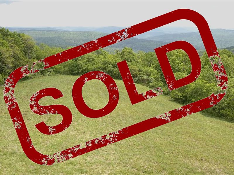
Sold - 24 Acres, about 5 open acres with panoramic views out over the forest to the South and East. The balance is wooded. Borders 1,000'S of acres of Ozark National Forest on 2.5 sides. Public Rd access, (Rd is seldom used). Elevation per topo map approx 2,200 ft. Rural water and electric at the road near the S.W. corner of the property. The balance of the land drops down off toward the north and is heavily wooded. The lower wooded area to the north is heavily wooded and downward sloping with a few east to west "Benches" level spots. Deer, Bear, Cats, etc. Seller's Mineral Rights Convey (If owned. Thinks they own them BUT only a separate "Mineral Search" will tell for sure). Great cell phone reception using my At&T service, but very spotty on the drive up there. Real Estate property taxes about a year. A Forestry Service access easement trail extends across the property from east to west and into the National Forest and allows public access over this road. About 1/2 mile east off Hwy 21 in southern Newton County between Salus and Fallsville on Case Cemetery Road NE 459). Approx 63 miles east of Fayetteville, AR and 28 miles north of Clarksville, AR and I-40. 27 miles from the Buffalo National River at Ponca.


