Wisky Ranch Airport / Chevlon Acres
Mulvehill Dr : Heber, AZ 85928
Navajo County, Arizona
Ranch Description
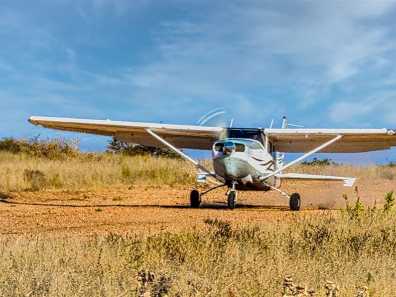
Calling all Pilots. This parcel is only a short 200 yards west of the Wisky Ranch airstrip at Airport Lane. Land your own plane and taxi right up to your acreage. If that isn't enough to draw your interest, you can also join the Deer Run Co-op well for an initial fee of of which, goes to maintenance and for water for a year, and each year after that it only costs .
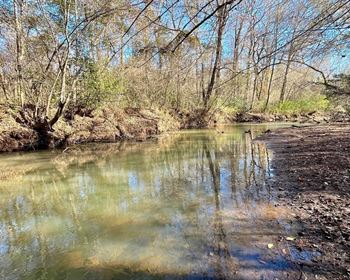
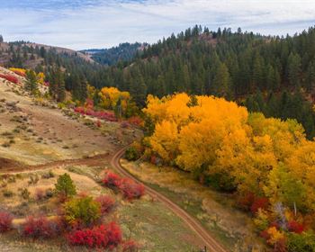
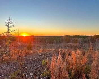
This beautiful 10 acre lot north of Heber, AZ is easy to access with a few Pinon Pine and many Juniper trees and is home to a variety of wildlife, including elk, deer, antelope, and wild turkey. You can also find a variety of birds, including bald eagles, hawks, and owls.
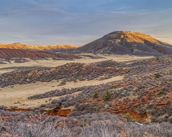
There are quite a few nice spots, to either build a site built home, or place a manufactured home on it. The property is located in a rural area, but is relatively close to the town of Heber, AZ. The property has great views of the surrounding area and is close to the Apache Sitgreaves National Forest and the Mogollon Rim.
With plenty of activities to keep you busy, you can explore, hunt, fish, and go hiking. If you're feeling adventurous, you can bring your 4x4s, horses, quads, or other toys to enjoy the 10-acre property. This lot is the perfect spot to build your dream home or use it as a recreational spot to relax and unwind. There's no better time than now to enjoy life and create memories that will last a lifetime.
Apache-Sitgreaves National Forest
Only a short 2 miles to the South of the property lies the magnificent Apache-Sitgreaves National Forest, that encompasses over two million acres of amazing mountain country in central-east Arizona. The Sitgreaves National Forest was named for Captain Lorenzo Sitgreaves, a government topographical engineer who conducted the first scientific expedition across Arizona in the early 1850'S.
On the Sitgreaves, the major attractions for the visitors from the desert are the Mogollon Rim and eight cold-water lakes. From the Mogollon (pronounced: muggy-own) Rim's 7,600-Foot elevation, vista points provide inspiring views of the low lands to the south. The Rim extends two hundred miles from Flagstaff into western New Mexico.
The Apache National Forest ranges in elevation from 3,500 feet to nearly 11,500 feet and is named for the tribes that settled in this area. The area from Mount Baldy east to Escudilla Mountain is often referred to as the White Mountains of Arizona. From the edge of the Mogollon Rim south of Hannagan Meadow, the land drops precipitously into the high desert around Clifton.
Climate
July is the hottest month for area with an average high temperature of 85° F, which ranks it as one of the coolest places in Arizona. There are 5 comfortable months with high temperatures in the range of 70-85°. The most pleasant months of the year are September, August and June. There are 11 days annually when the high temperature is over 90°, which is one of the coolest places in Arizona. December has the coldest nighttime temperatures for with an average of 20°. Making it one of the coldest places in Arizona.
Nearby Attractions/City
Apache-Sitgreaves National Forest
The Apache-Sitgreaves National Forests, administered as one national forest, encompasses over two million acres of magnificent mountain country in east-central Arizona. The Sitgreaves National Forest was named for Captain Lorenzo Sitgreaves, a government topographical engineer who conducted the first scientific expedition across Arizona in the early 1850'S.
On the Sitgreaves, the major attractions for the visitors from the desert are the Mogollon Rim and eight cold-water lakes. From the Mogollon (pronounced: muggy-own) Rim's 7,600- foot elevation, vista points provide inspiring views of the low lands to the south. The Rim extends two hundred miles from Flagstaff into western New Mexico.
The Apache National Forest ranges in elevation from 3,500 feet to nearly 11,500 feet and is named for the tribes that settled in this area. The area from Mount Baldy east to Escudilla Mountain is often referred to as the White Mountains of Arizona. From the edge of the Mogollon Rim south of Hannagan Meadow, the land drops precipitously into the high desert around Clifton.
Show Low
In 1856, Show Low's founder, Corydon Cooley, left Virginia at age 20 to come to the New Mexico Territory. After service in the Union Army and as a scout and interpreter for General George Crook, Cooley married into the White Mountain Apache Tribe. Chief Pedro became his father-in-law. The tribal center is located in White River and old Fort Apache approximately 40 miles from present day Show Low.
In 1873, Cooley moved his family to a small cabin on the banks of what is now Show Low Creek and became a ranching partner with Marion Clark. After the legendary card game of 1876, Cooley named his newly acquired ranch “Show Low”. As you explore the area, you'll quickly find that the community has a storied tradition rich in Western history.
Holbrook
“What began as a town too tough for women and churches, is now too good to miss.”
Holbrook began as a town of railroaders and cattlemen, outlaws and rugged lawmen. Today it is a city steeped in Native American culture, Hispanic roots and pioneers from all walks of life. In this community is the heart of Navajo County, the gateway to the stunning Petrified Forest National Park and the trip that needs to be taken along Historic Route 66. Rich in diversity and welcoming to all, Holbrook is where your adventure begins.
About Us
Plot and Parcels is a privately owned land investment firm with a strong reputation in the real estate investment community for our ability to find great investment opportunities. Honesty and integrity are the cornerstones that we've built our business on. We work hard to get the best possible price on vacant rural land, and offer it for sale at a steep discount. There's no obligation to get in touch with us and see what we're all about or to view our available land for sale.
