Cox Brook Headwaters
Moretown Mountain Road : Moretown, VT 05660
Washington County, Vermont
Ranch Description
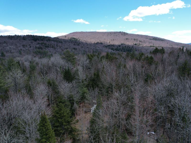
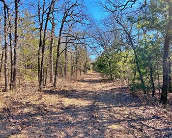
The property is ideally suited for the development of a family homesite. An existing woods trail runs to a potential homesite supported by an approved 5-bedroom wastewater permit. The Moretown location provides easy access to schools, skiing, and job markets. The land's high elevation offers views to the east of Chase Mountain, with trees clearing. Electric and phone services are available roadside.
Location
The property is in a country setting 3.2 miles from the village and a short drive to job centers, skiing and shopping. Homes near the land are dispersed and generally well maintained, creating an attractive rural character. Nearby Moretown Village hosts an elementary school, a well-appointed country store and town offices.
The Mad River flows through Moretown from the south on its way to the Winooski River on the northern edge of town. A popular swimming hole with large rocks for relaxing and jumping is just south of the Village.
The adjacent towns to the north and south, Waterbury and Waitsfield (each +/-11 miles from the property), offer diverse job markets, a variety of retail stores and specialty restaurants. Multiple skiing venues are also nearby, including Sugarbush, 15 miles from the land. The regional high school is 5.6 miles to the west.
Burlington, Vermont's largest city, and the Stowe Mountain Ski Resort are both a 45-minute drive to the west and north respectively. Boston is about a 3-hour drive to the southeast.
Access
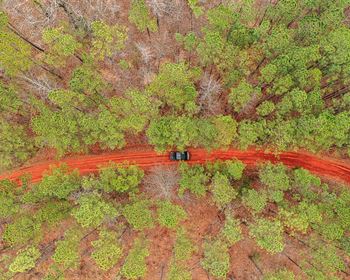
Access consists of +/-1,700' of frontage along Moretown Mountain Road, a town-maintained, graveled road with electric power and telephone services roadside. An existing driveway is cut into the land with woods trails fanning out from there. The potential homesite is +/-500' from the driveway entrance.
Site Description
The land's relatively high elevation (+/-1,300') provides attractive, potential views to the east of Chase Mountain near the future homesite location. This site is away from the town road, allowing privacy with gentle slopes offering a nice yard with tree clearing and grading. The homesite has almost a neutral aspect but slightly sloping to the north.
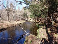
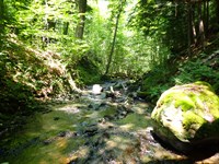
Overall, the land can be considered variably sloped, exhibiting flat knolls, rolling land, and steep ledge. The land along the town road represents the low point, whose terrain generally rises to the east and then slopes down to Cox Brook before rising again to the eastern boundary. Cox Brook begins just to the north of the property, running through the land as a small year-round brook.
The soils are variable with well-drained areas mixed with some poorly drained spots and sites with soils shallow to bedrock and exposed ledge.
The land has been tested and approved for septic use with a 5-bedroom wastewater permit issued in 2020 (Permit Ww-5-8397). The maps in this report indicate the location of two rights of ways that run through the land, the eastern RoW providing a nice woods road west of the stream.
Timber
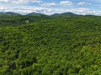
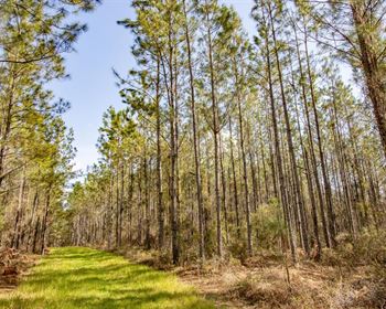
Forest aesthetics for the property can be considered attractive given the older age classes and dense overstory canopy, however in areas, a dense understory exists given the nature of the mostly softwood species composition which can thrive in semi-light conditions, and the partial canopy openings created from the 2005 forestry thinning.
The land's Forest Management Plan (available upon request) is comprehensive and delineates two stand types, both with overstory trees that are approximately 80 years old. Stand 1 (49 acres) is located west of Cox Brook and has mixed species of white pine, red spruce and hemlock with miscellaneous hardwoods. The stand was thinned about 19 years ago, creating a robust understory in many areas. Stand 2 (15 acres) is a dense spruce/fir stand that has not been harvested in recent decades.
Ranch Maps & Attachments
Directions to Ranch
The property does not currently have a street address. However, drivers can navigate using GPS to 3382 Moretown Mountain Road, Moretown, VT, and find the property directly across the town road. The property is best accessed using the previous logging access found there.
More Ranch Details
More Ranches from Thom Milke
 87.7 AC : $203K
 1,011 AC : $1.7M
 738 AC : $877K
 515 AC : $830K
 New1,189 AC : $14M
 88.5 AC : $522K
 13 AC : $110K
 337 AC : $478K
 1,872 AC : $9.27M
 152 AC : $300K
 191 AC : $239K
 203 AC : $539K
