Listing Saved
Email Sent

Productive Farm Land

Lincoln, AL 36260

Talladega County, Alabama
82 Acres
Create a FREE Ranch Buyer Profile or sign in to save this ranch. DISMISS
Sold

Ranch Description

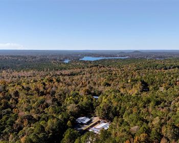
•Located in north Talladega County, Alabama, about 5 miles east of Lincoln and a mile from the entrance to the Talladega Superspeedway. From the property, it is about 12 minutes to Anniston and 32 minutes to Birmingham (intersection of I-20 & I-459).

•The property has about ¼ mile of frontage on a paved road with water and power service.

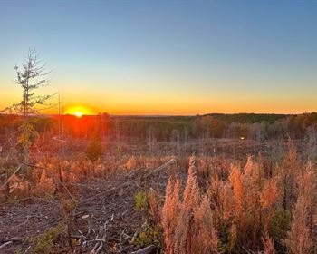
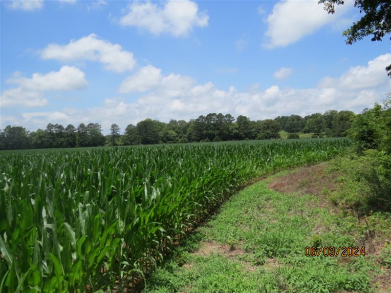
•This property has about 36 acres of crop land and the balance is in timber. Please do not drive or walk in the fields (walking the unplanted field edges is fine).

•The crop land is currently leased to a local farmer, which means there is income potential from the property.

•There are two abandoned houses on the property, both in poor condition. In our view, one is uninhabitable, and the other might possibly be cleaned up and repaired. Please do not enter either house as both are in hazardous condition.

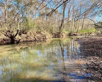
•A flowing creek crosses the property for about ¼ mile.

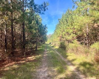
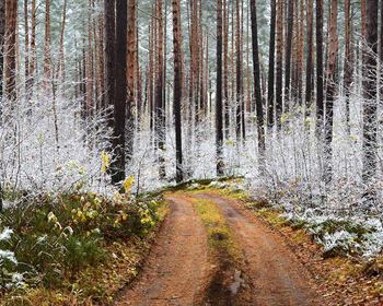
•The timberland is a nice hardwood forest and should provide good hunting opportunities.

•The property is in an estate and the sale will be subject to court approval.

•You are welcome to look at the property on your own. In this case, we suggest you print out the brochure from the web site and take it with you since it has maps and aerial photos. You can also call the agent to arrange a visit or to get more info. You can contact the agent, Tom Brickman.

Ranch Maps & Attachments

Directions to Ranch

From the intersection of I-20 and AL Hwy 21 (Exit 185 in Anniston, 12 minutes to the property).

From Exit 185 head west on I-20 towards Birmingham, Alabama for 11.4 miles to Exit 173 (Eastaboga Exit). Take Exit 173 and at the end of the ramp turn left. Go 0.3 miles and bear right at the fork onto Speedway Blvd. Go 0.9 miles and turn right onto Airport Rd. Go 0.8 miles (crossing over I-20) to Harris Lane on your left. At this point the property is on your right (east side of the paved road) and you are at the southwest corner. Look for the Cyprus Partners sign. The property runs continuously on the right for ¼ mile. After you have gone ¼ mile you will be at the northwest corner of the property (look for another Cyprus Partners sign). At this point, on the right, there are two side-by-side driveways. Take a right onto the first one you come to (the southern-most one) and you will run east down the north line of the property. In a little over 0.1 miles the drive ends at the old farmstead and the two abandoned houses. Please park at the end of the drive. You are welcome to look at the property on your own, or you can call the agent to arrange a visit. We suggest you take the brochure from the web site with you because it has maps and aerial images to guide you. Please do not enter the abandoned houses because it is not safe. Also, please don't drive or walk in the planted fields (walking in the unplanted field edges is fine). Call the agent, Tom Brickman, for more information.

More Ranch Details

Currently Leased
Agricultural Zoning
Flat Terrain
Paved Road Access
Electricity Service
Telephone Service
Water Service
Cell Service
Broadband Internet Service
Seller's Ranch ID
547
RANCHFLIP ID
376160
Ranch features, descriptions, details, directions, sales history, photos, maps, boundaries and files are deemed reliable and provided "as is" without guarantee, warranty, representation, expressed or implied by RANCHFLIP or its advertisers, and is subject to errors, omissions, sale or withdrawal. Buyers should exercise their own due diligence when purchasing real estate. RANCHFLIP is not a party to any portion of the real estate transaction between a buyer and seller on this site. Contact the seller directly regarding this listing.