Morgan's 80
Dadeville And New Site, AL 36853
Tallapoosa County, Alabama
Shown by Appointment Only
Ranch Description
Location:
Morgan's 80 is located in the Piedmont region of Alabama, known for its rolling hills, ridges, and valleys. It is surrounded by privately owned timberlands to the west, south, and east, with Horseshoe Bend National Military Park bordering it to the north. The Tallapoosa River is just half a mile away, with access points only minutes from the property, and Lake Martin is a short 25-minute drive.
The property can be reached from US Hwy 280 in about 10 minutes and is conveniently located between the towns of New Site and Dadeville, Alabama, both within a 15-minute drive of grocery, fuel, and dining options. Alexander City is approximately 25 minutes away, offering additional amenities like lodging and a medical facility, while Birmingham Airport is about an hour-and-a-half drive, and Atlanta is nearly two hours away.
Access:
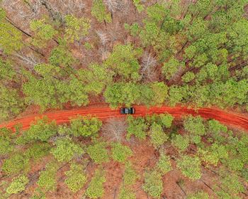
While the tract lacks public frontage, it is accessible from the south via what appears to be an old, retired county road marked as Babydoll Pass, which connects to the county-maintained Old Sheppard Road. Babydoll Pass resembles an old logging path and leads to the property boundary. It can be navigated with a 2×4 vehicle under normal conditions but may require a 4×4 during wet periods. The road continues north through Morgan's 80 to the boundary of Horseshoe Bend Park, where there is an old gate, but much of this stretch has not recently been cleared of vegetation. It is suitable for UTV or ATV travel, however.
Additionally, there is a second interior woods road that runs along the south line to the west line from Babydoll Pass. Power is available approximately half a mile from the property along Old Sheppard Road.
Site Description:
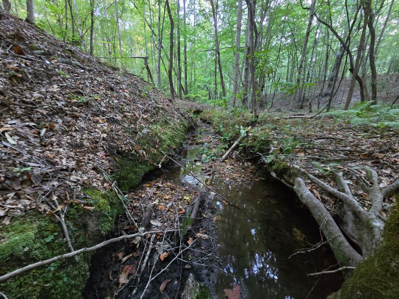
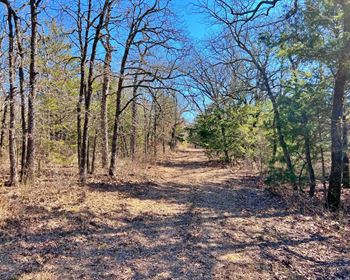
The tract's features make it ideal for timber production, recreation, and a potential cabin retreat. Elevations range from approximately 580 to 720 feet above sea level, and the well-drained soils are suitable for timber growth. A creek flows from south to north across the eastern half of the property, with a feeder creek entering from the east, both of which drain into the Tallapoosa River about half a mile north of the property. Its secluded location, access to water, and oak trees create excellent recreational opportunities linked to wildlife and nature. The mature forest with its hills and valleys maintains a park-like atmosphere showcasing a diverse array of species.
Timber:
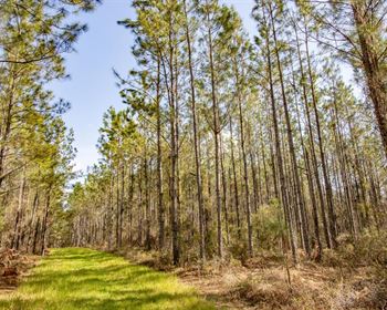
While no timber inventory is currently available, the timber on this property is easily over 50 years old with no record of harvests. It consists of a mix of mature oak, hickory, poplar, and pine species, including some very old and mature longleaf pines.
If timber income and management are priorities, the tract's merchantable volume and diverse species offer attractive near-term income opportunities, as the timber can be sold and harvested at any time. It is estimated that there are between 60 and 65 acres of operable land suitable for harvesting. To maximize future returns, it is recommended that a loblolly pine plantation be planted post-harvest. Additionally, the land is suitable for longleaf pine plantings, which can support both timber production and wildlife enhancement objectives.
Cost-share opportunities for establishing and managing longleaf pines are often available through agencies like the Natural Resources Conservation Service or the Alabama Forest Commission.
Approximately 15 to 20 acres of the property consist of steeply sloped areas or Streamside Management Zones (Smzs), where Best Management Practices for Forestry (Bmps) require some timber retention to protect water quality. SMZs serve as timber buffers along streams, filtering sediment and providing shade to regulate water temperatures. While Alabama BMPs allow for limited harvesting within SMZs, many landowners choose to keep them intact to enhance biodiversity and serve as wildlife travel corridors.
